The Common Meuse in the Meuse Valley River Park is one of the characteristic parts of the entire Meuse river basin. The Meuse originates in France and works its way through the Ardennes to the lowlands and the North Sea. From source to outflow, the Meuse is about 875 kilometres long. Its catchment area or 'Meuse basin' is about 33,000 km2 (approximately the size of Belgium) and stretches across five countries: France, Luxembourg, Belgium, Germany and the Netherlands. The particular contour of the basin (relatively narrow with a wide stretch near the Ardennes) ensures that almost 80% of river discharge comes from the central part of the basin. All major flood waves therefore originate here. Especially the combination of meltwater after winter snowfall and a lot of rain in the Ardennes, can cause a rapid increase in discharge in winter. The Meuse is thus a 'rain river'. Due to the strong meanders in this stretch of the Meuse, the landscape history of the Meuse Valley is marked by 'Meuse displacements'.
Common Meuse
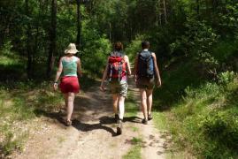
The stretch of the Meuse that flows through the Meuse Valley River Park is called the 'Common Meuse'. In the Netherlands, this section is also called the 'Grensmaas', because the river forms the border between Flanders and the Netherlands for about 50 kilometres. The Common Meuse begins immediately after Maastricht, where the valley plain widens further. The flanks of the valley are initially dozens of metres high, but gradually become lower and finally disappear altogether. Right from the start of industrialisation, shipping has been diverted through this stretch of the Meuse via canals. This has ensured that this is the only stretch between Commercy and the Lower River region where the Meuse still flows freely!
Industrial development and urbanisation in the 19th and 20th centuries focused more on mining in Eisden and near Stein, a few kilometres from the river, as well as on the banks of the canals. The landscape in the immediate vicinity of the river was therefore spared from excessive expansion of built-up areas. However, the river became increasingly constricted during the 20th century, until it was about 50m wide everywhere. Land use advanced to close to the banks, the river cut into its bed, natural values took a deep dive.
Europe's largest river restoration project
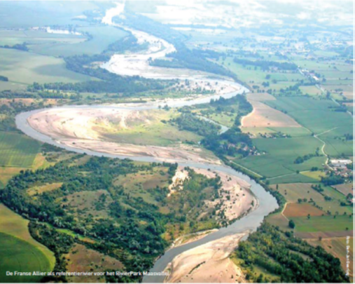
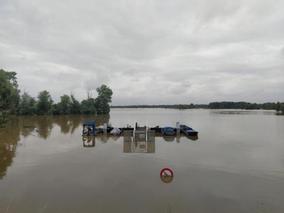
Even before the floods of 1993 and 1995, plans were made to give the river back more room to buffer the many waters after heavy rainfall in this area. After all, that buffering capacity is lacking upstream, where big cities like Liège or Maastricht surround the Meuse. From the beginning of the recovery plans, nature development and biodiversity restoration were placed high on the agenda. Old river maps were taken to hand and reference rivers such as the Allier in France (see photo) were an inspiration. After the floods, the Grensmaas project (NL) and the various restoration projects on the Flemish bank were put on the table, calculated in close consultation with each other and implemented in consultation with the gravel industry. After all, what you do on one bank has an effect on the other bank.
Parts of these plans are still being implemented today. This is the largest river restoration project in Europe.